Human Geography
Increase your student's understanding of urban planning in this interactive session.
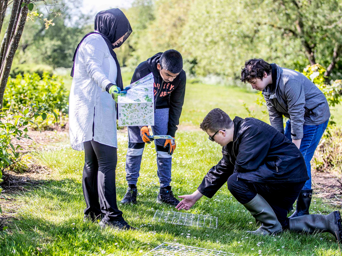
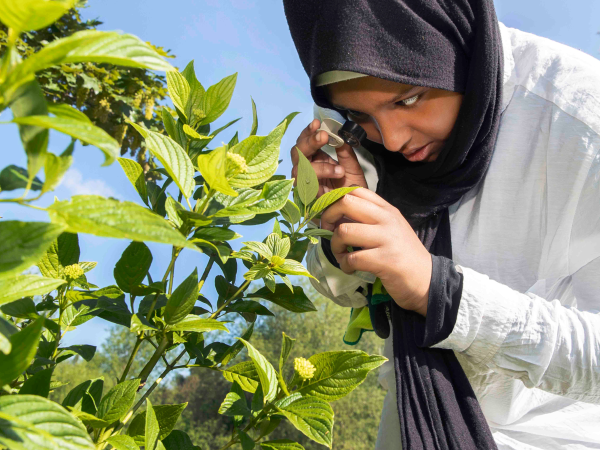
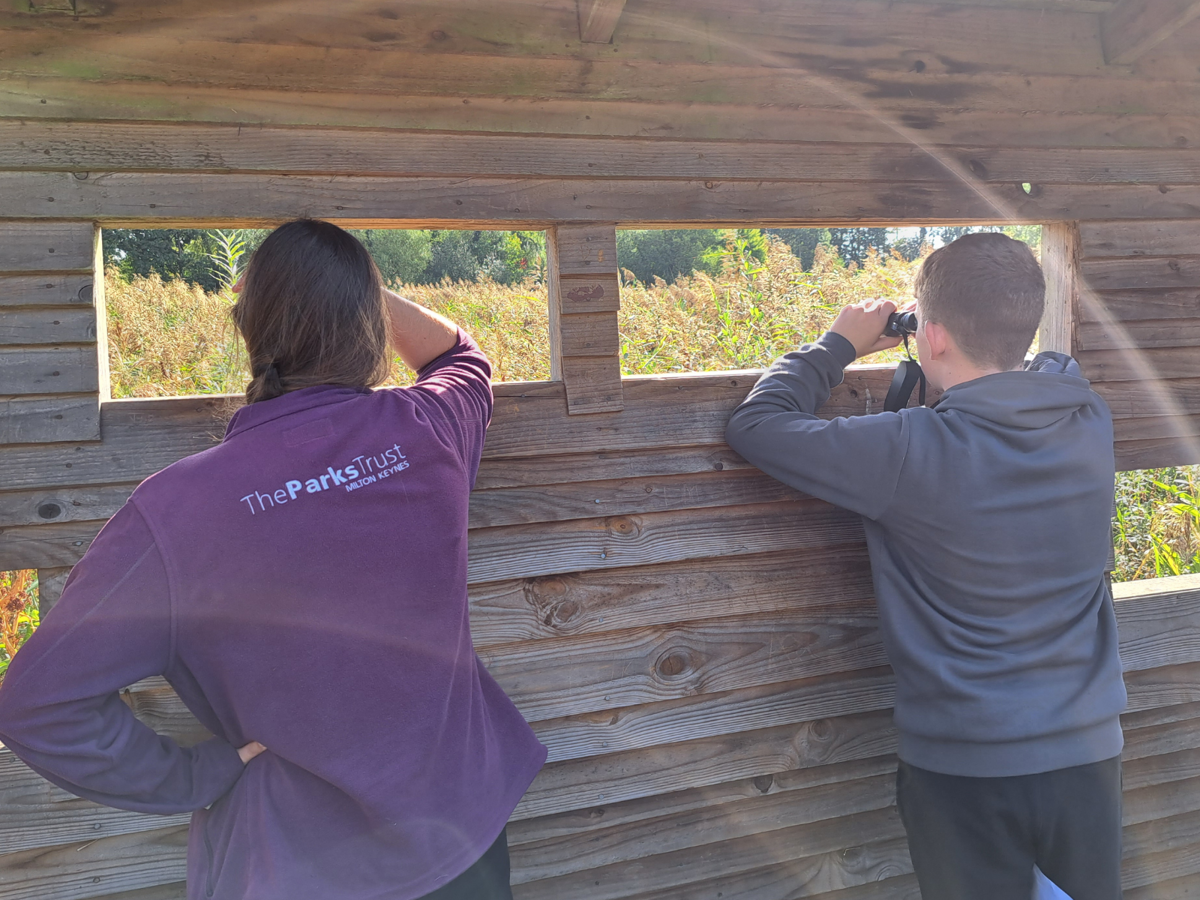
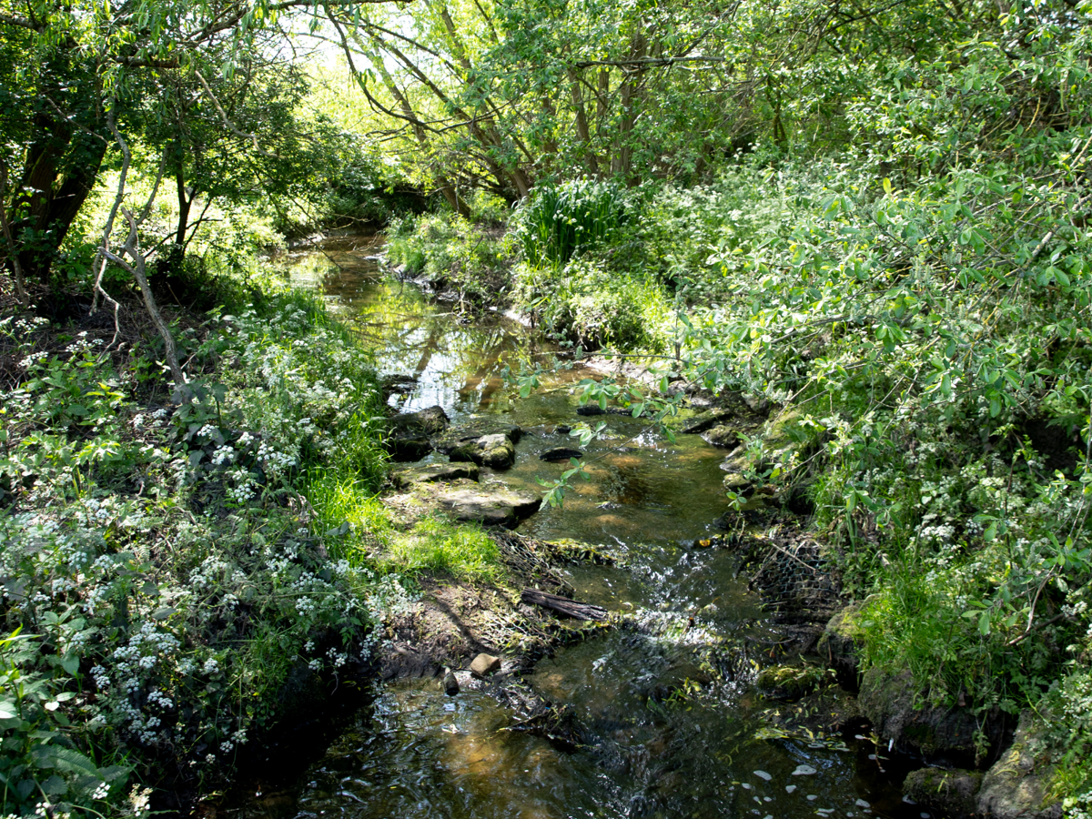
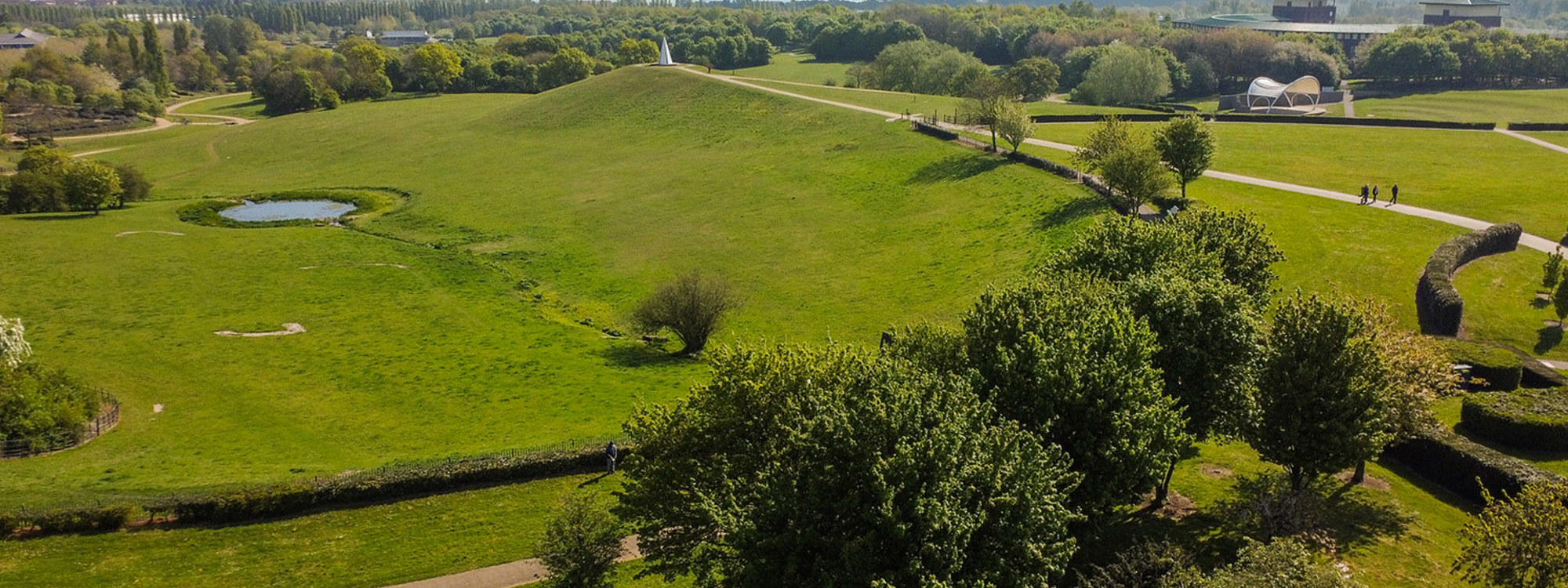
During this session, students will have the opportunity to collect their own data to investigate a range of factors involved in urban planning. Depending on the location, this could include natural and manmade habitats, ancient woodlands, SSSI's, new parklands, waterbodies, flood prevention and SUDS (Sustainable Urban Drainage Systems) and scheduled ancient monuments. Students can try techniques such as land use surveys, sound mapping and water quality testing as well as studying Ordnance Survey maps, aerial satellite photographs and ground features. This session is suitable for Key Stages 3 and 4.
National Curriculum links
Key Stage 3 - Human geography relating to population and urbanisation. Understanding how human and physical processes interact to influence and change landscapes, environments and the climate; and how human activity relies on effective functioning of natural systems. Interpreting Ordnance Survey maps in the classroom and the field, including using grid references and scale, topographical and other thematic mapping, and aerial and satellite photographs.
Key Stage 4 - Applying geographical knowledge, understanding, skills and approaches appropriately and creatively to real-world contexts, including fieldwork, and to contemporary situations and issues; and develop well-evidenced arguments drawing on their geographical knowledge and understanding.
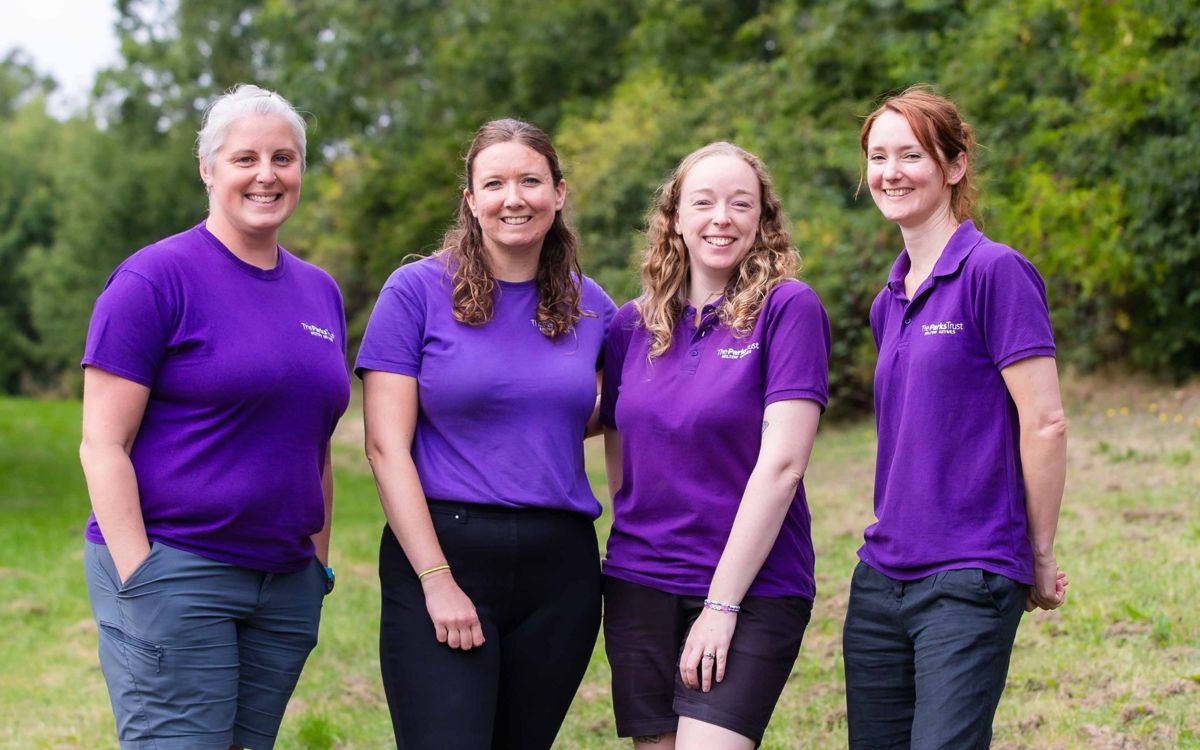
If you would like further details, please contact our friendly Outdoor Learning team to discuss your requirements.
Phone: 01908233600
Email: outdoorlearning@theparkstrust.com
Check out our range of curriculum based sessions for Key Stages 3, 4 and 5.

